Sicily is the largest island in the Mediterranean, covering an area of just under 26,000km², with its highest point at Mount Etna (3,320m). It is also the biggest of Italy’s twenty regions, having gained autonomy in 1946 when Italy became a republic. Agriculture, industry and tourism each play a major role in Sicily’s economy.
Geographically, it is essentially triangular shaped, separated from the mainland by the Strait of Messina. The island’s climate is Mediterranean, with mild, wet winters and hot, dry summers during which average August temperatures reach around 29°C. Its long warm summer and diverse landscapes make it an ideal destination for tourists from early Spring until late Autumn.
Geography of Sicily
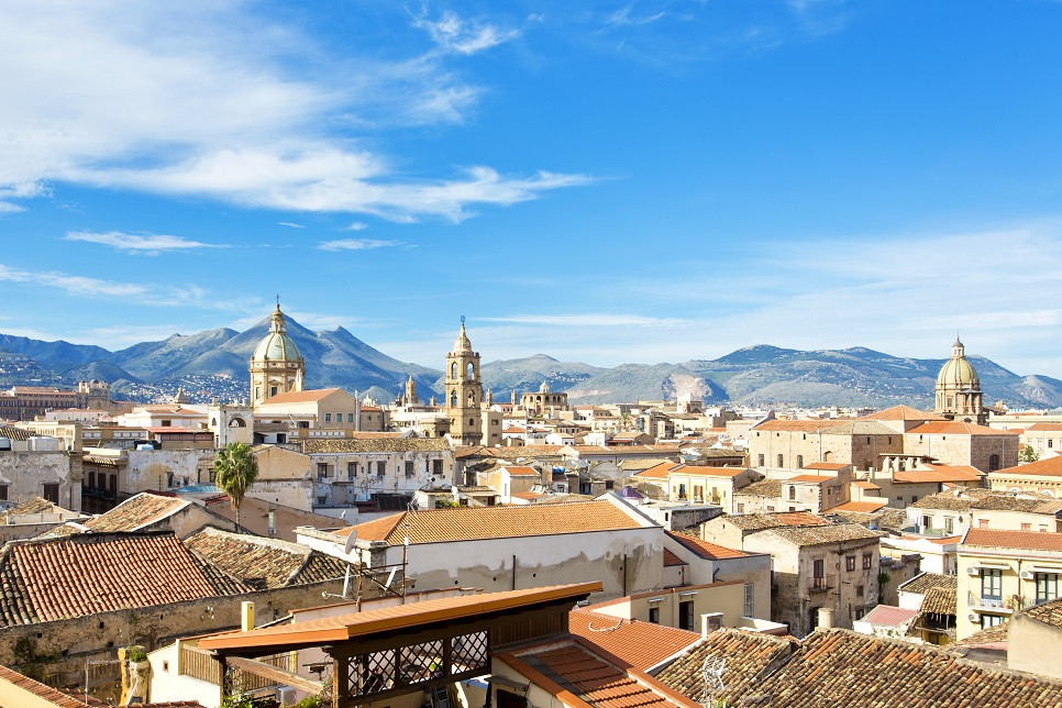
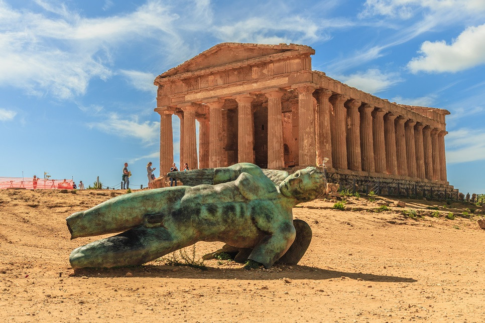
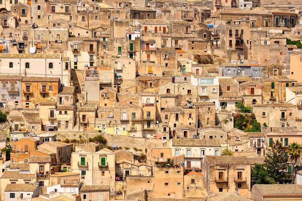
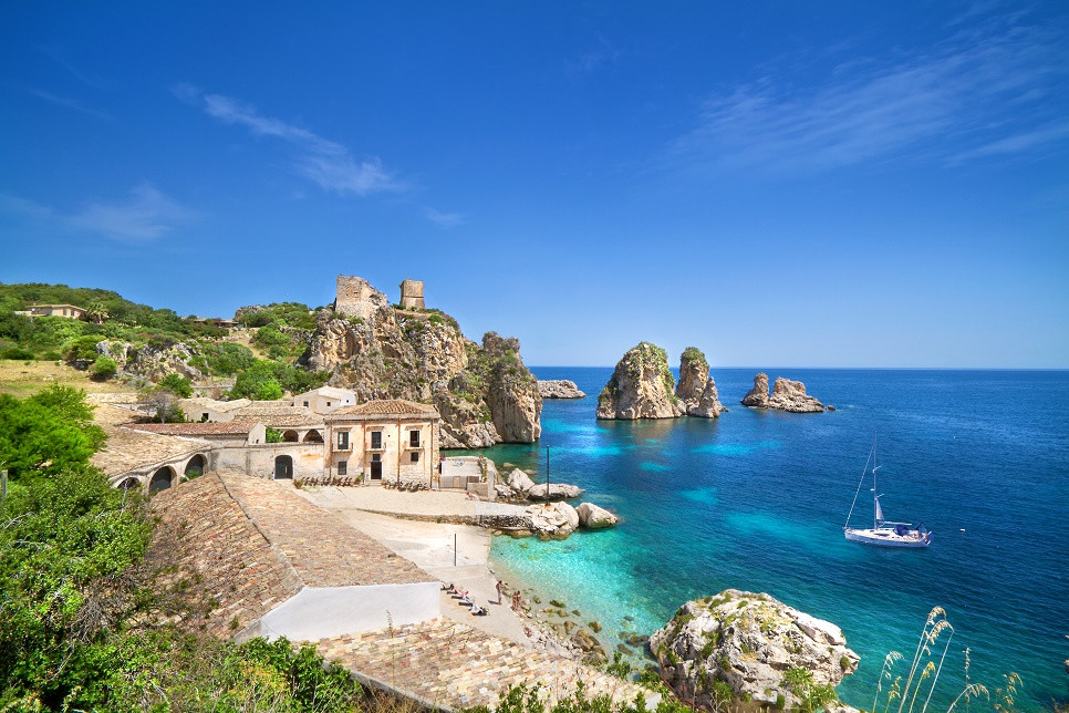
Where to go and what to see
Our
villas in
Sicily
go to villas